New Records

معلومات التسجيل | Record Details
Publication date
Resource type
Language
Full Record
Creative Commons Attribution 4.0 - المشاع الإبداعي - النسبة 4.0
https://orcid.org/0000-0001-8896-6069
DOI
License Types
Author Bio
Key Words
Details (EN)
Spatiotemporal Drought Assessment Using Geospatial Artificial Intelligence and Satellite Imagery (Geoai-Eo) Techniques in Arid Land
Ayoub Ahmed Abdullah Almhab
Consultant, Ministry of Agriculture, s and water resources, Sana'a, Yemen
ACAPRS Journal
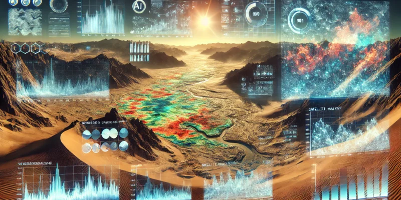
Drought is a major global climate change that causes decreased precipitation and increased temperatures and evaporation, leading to water shortages, agricultural decline, and population migration. Yemen’s territory is located within arid and semi-arid regions, and is characterized by its diverse terrain, including coastal, mountainous, eastern plateau, and desert areas. Therefore, research studying the phenomenon of drought is of great importance. In this study, drought was evaluated through a set of indicators, such as the Vegetation Condition Index, Normalize difference vegetation Index (NDVI) and the Drought Severity Index, to evaluate drought in the Yemeni regions. Using geospatial artificial intelligence and satellite imagery (GeoAI-EO) techniques to more accurately assess spatiotemporal drought, using a wide range of data. Dry months are found to last from October to April, while September is the least frequent month in the mountainous western regions. It was also found that drought is more common in the coastal areas and the eastern plateau than in the mountainous highlands and western slopes. Maps and graphs showed the difference in dry and wet climatic ranges of the drought coefficient and showed the extent of variation between regions and seasons.
Title
Author
Author's job
Publisher
Abstract
التفاصيل (بالعربية)
العنوان
المؤلف
وظيفة المؤلف
الناشر
الملخص
تقييم الجفاف الزماني والمكاني باستخدام تقنيات الذكاء الاصطناعي الجغرافي وصور الأقمار الصناعية (GeoAI-EO) في الأراضي القاحلة
أيوب أحمد عبدالله المهاب
مستشار، وزارة الزراعة والموارد المائية، صنعاء، اليمن
مجلة أكابرس
يُعتبر الجفاف أحد أبرز التغيرات المناخية العالمية التي تؤدي إلى انخفاض معدلات هطول الأمطار وزيادة درجات الحرارة ومعدلات التبخر، مما يسبب نقصاً في المياه، وتراجعًا في الزراعة، وهجرة السكان.
تقع الأراضي اليمنية ضمن المناطق القاحلة وشبه القاحلة، وتتميز بتنوع تضاريسها، بما في ذلك المناطق الساحلية، والجبال، والهضبة الشرقية، والمناطق الصحراوية، لذلك، يُعد البحث في ظاهرة الجفاف ذو أهمية كبيرة.
في هذه الدراسة، تم تقييم الجفاف باستخدام مجموعة من المؤشرات؛ مثل: مؤشر حالة الغطاء النباتي (VCI)، ومؤشر الفرق المعياري للغطاء النباتي (NDVI)، ومؤشر شدة الجفاف، بهدف تقييم الجفاف في المناطق اليمنية.
تم الاستعانة بتقنيات الذكاء الاصطناعي الجغرافي والتصوير الفضائي (GeoAI-EO) للحصول على تقييم أكثر دقة للجفاف الزماني والمكاني، وذلك باستخدام مجموعة واسعة من البيانات.
أظهرت النتائج أن الأشهر الجافة تمتد من أكتوبر إلى أبريل، بينما يُعد شهر سبتمبر أقل الأشهر جفافاً في المناطق الجبلية الغربية.
كما تبين أن الجفاف أكثر شيوعاً في المناطق الساحلية والهضبة الشرقية مقارنة بالمرتفعات الجبلية والمنحدرات الغربية.
وأظهرت الخرائط والرسوم البيانية التباين في النطاقات المناخية الجافة والرطبة لمعامل الجفاف، وكشفت مدى الاختلاف بين المناطق والفصول.
أداة توثيق المصادر العلمية
أدخل مُعرّف DOI للحصول على التوثيق بتنسيقه الدقيق لمختلف الأساليب.
جاري جلب البيانات وتنسيق التوثيق...
حدث خطأ
